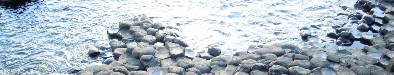

1. Geological agents
The shaping of relief is carried out by geological agents like water, wind or ice. Geological agents, remove materials from the land (erosion), move them to other areas (transport), and finally deposite sediments in places like sedimentary basins. (We studied this process in unit 9).
For example, erosion, transport and deposition in dry climates caused by wind:

There are six major geoloical agents that produce characteristic landforms:

Identify the geological agent in each photograph:

2. Wind
- Deflation: a type of erosion that remove and lift up fine materials
- Erg: extensive sandy desert (es el nombre que reciben los desiertos grandes de arena.
- Reg: extensive areas covered by rocks (a different type of desert)
- Barchan: crescent-shaped dunes. (Es una duna con forma de luna creciente)

Dunes have two sides:
- Windward (barlovento)
- Leeward (=sotavento)

Deserts in the world

3. Glaciers
Glaciers are in polar regions and in high mountains like Alps, Himalayas. In our country we have some glaciers in Pirineos, and we can find the typical landforms produced by glaciers.
Landforms produced by glaciers:
Erosion, trasnport and deposition caused by ice:

1.U-shaped valleys.
Valleys can be produced by rivers (water erosion) or by glaciers (ice erosion of glacier tongues). Erosion of a tongue of ice results in a U-Shaped valley, while erosion of a river results in a V-shaped valley. Look at the following figures to see the difference:

For example, Ordesa Valley in Pirineos.

2. Tongues, cirques, steep slopes and morraines.
Cirque: bowl-shaped area, usually at the head of a glacial valley.

4. Surface water
Include surface run-off (=escorrentía superficial) and rivers.
4.1 Surface run-off
Is the flow of water over the land surface. Remember the water cycle: part of precipitation filters into the ground and part flows over the land.
Landforms produced by surface run-off
- Gullie (=barranco)
- Alluvial cone (=abanico aluvial): deposit of materials transported by water

When it rains part of the water flows over the land, instead of being filtered into the ground. The flowing water transports materials that later are deposited and accumulated in the alluvial cone.
4.2 Rivers
Rivers are divided into three parts or courses. Erosion is greatest in the upper course, close to the source of a river; while deposition is greatest in the lower course.
- Upper course (curso o tramo alto)
- Middle course (curso o tramo medio)
- Lower course (curso o tramo bajo)


Formation of meanders
Meanders are result of erosion and deposition.

Floodplains


